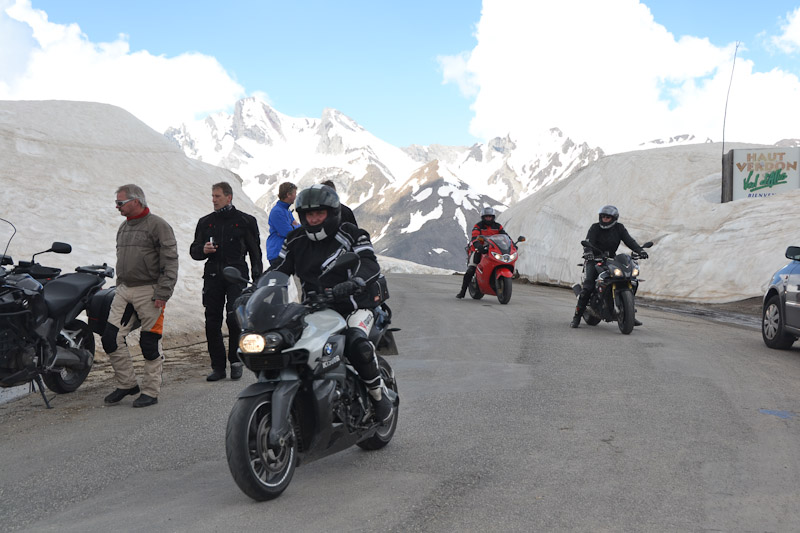
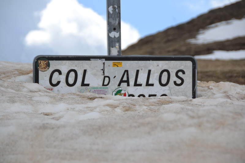
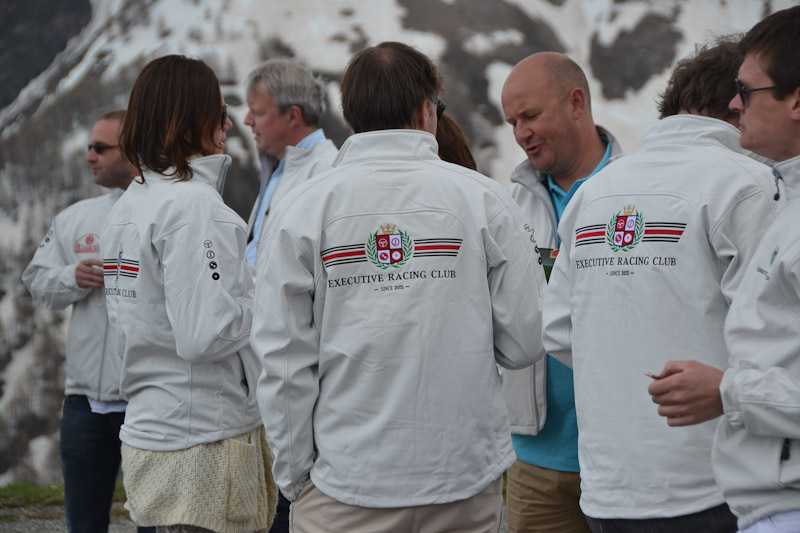
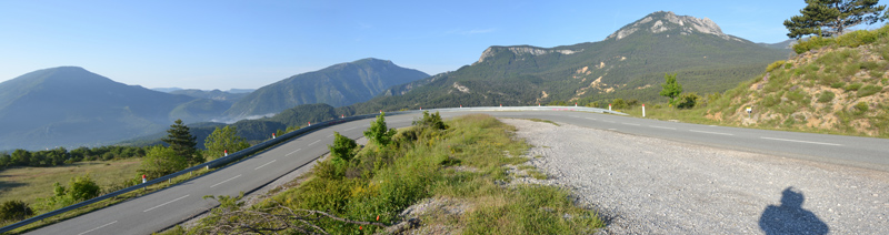
Heading down the north side of Col d'Allos was very different than heading up. While the pavement was still pretty crappy, and the roadway very narrow, the views were amazing and the dropoffs pretty intense. At times the road hugged the mountainside overlooking the chasm across to a view of the road on the mountainside opposite. The north side was also a lot longer than the south, and we all had plenty of opportunities to stop and take photos and enjoy the view. Couple more vintage cars passed by us going up the pass, maybe to join the "Executive Racing Club" at the top.
Starting down Col d'Allos
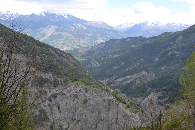
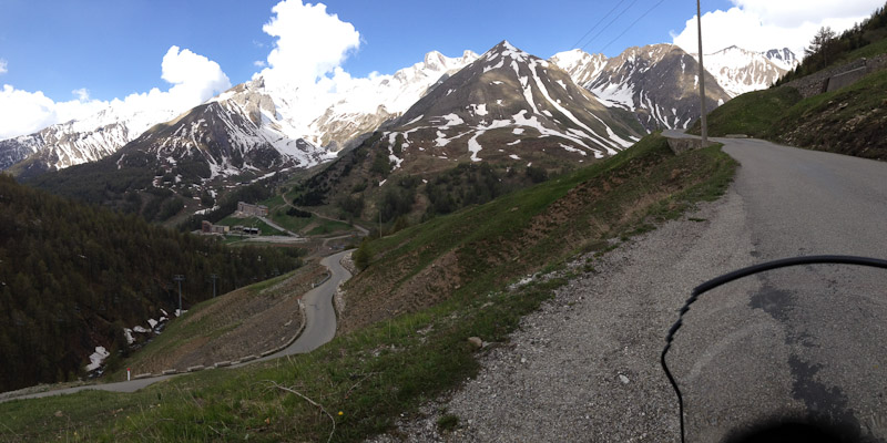
Looking over to where we'd be in a few minutes
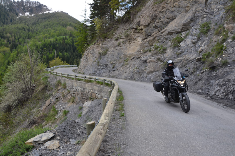
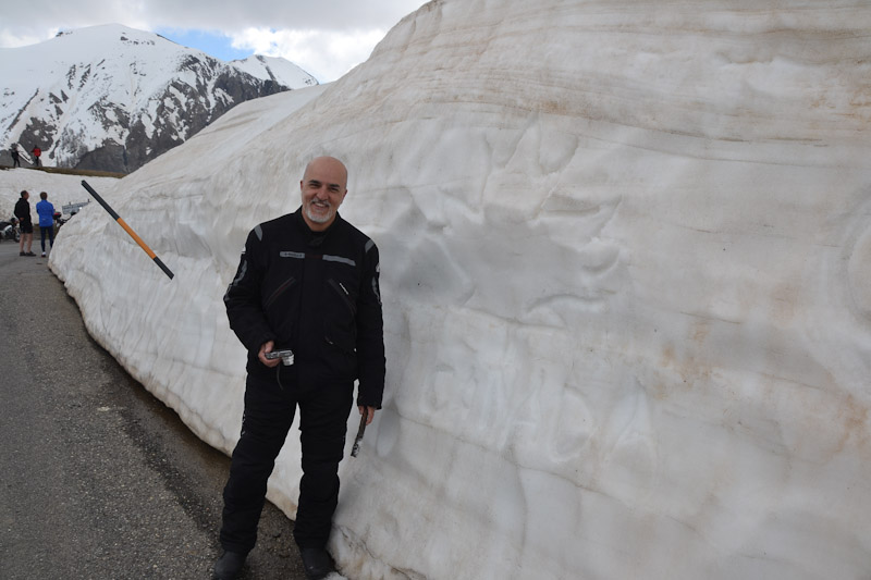
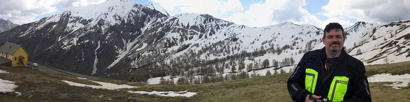
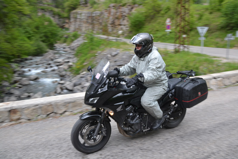
Peter on Col d'Allos
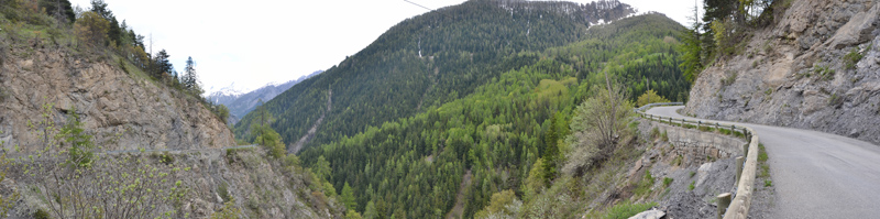
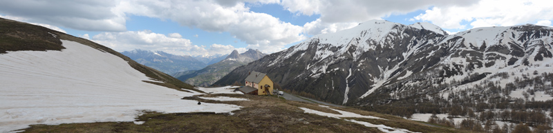
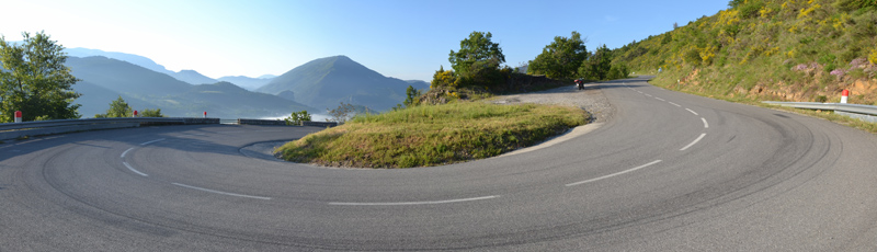
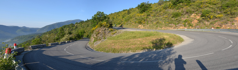
Pano of Col d'Allos. Big u-shaped canyon, you can see the road in and out on both sides.
Full-res version here
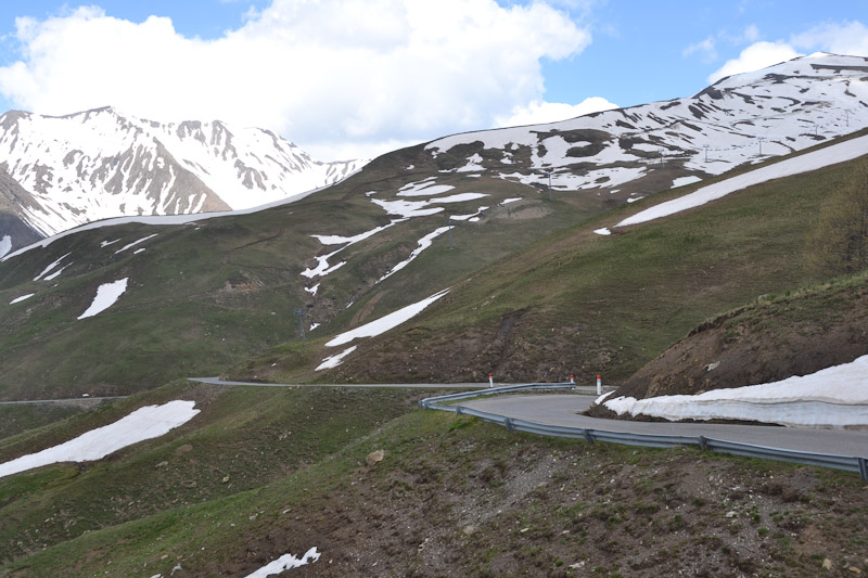
Getting close to the bottom
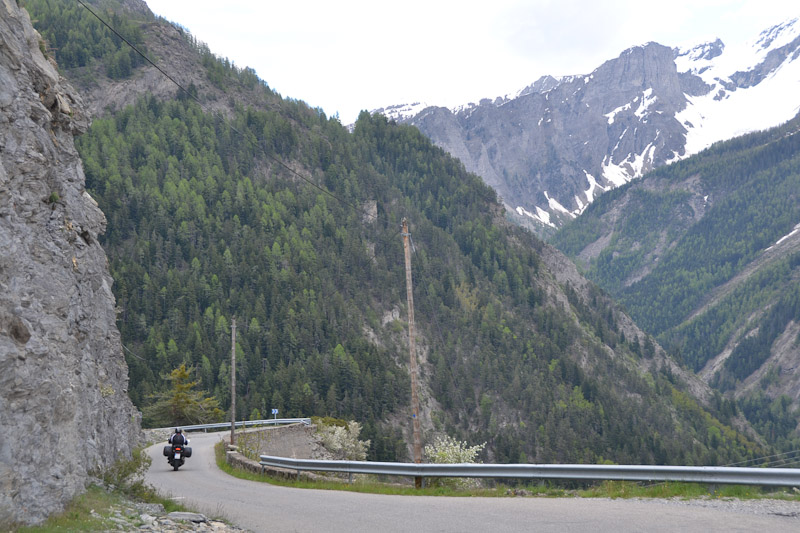
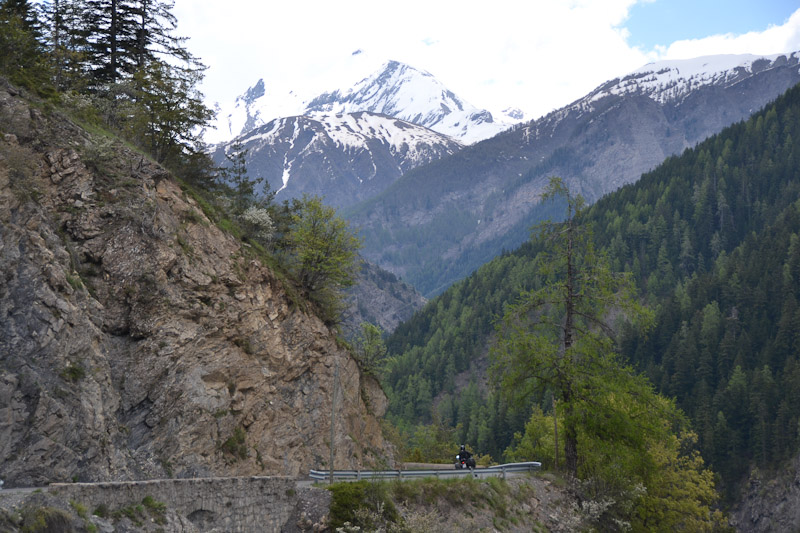
Dave near the bottom of Col d'Allos
We stopped for lunch in Barcelonette at a cafe in the apparant center of town. Ordered an "American" sandwich, which was chopped steak, french fries and ketchup on a baguette. This being France they took the baguette seriously - our waitress rode her bicycle to the bakery after she took our order to get fresh rolls. Nice.
A nice suprise was seeing a decent beer selection. They had about a dozen quality Belgian beers available - I ordered a La Trappe Witte since it had the lowest alcohol content (still 5.5%, but for a Belgian beer that is practically non-alcoholic). Peter had a La Chouffe on my recommendation, and Dave enjoyed his traditional Diet Coke. Just one beer at lunch - drinking and riding is a very bad idea. One beer over the course of an hour-long lunch I'm comfortable with.

Great lunch cafe in Barcelonette
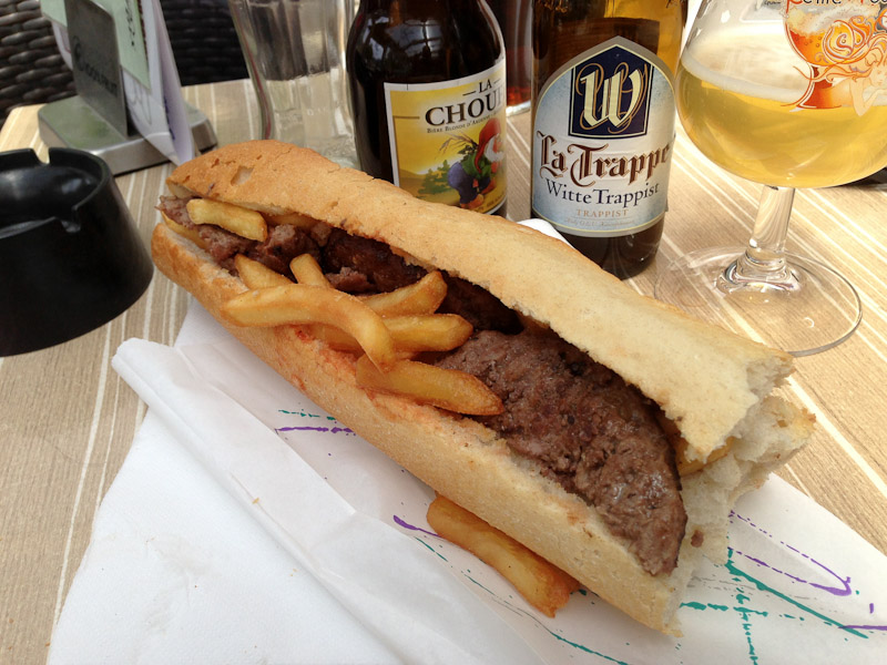
Delicious American sandwich, on very fresh bread
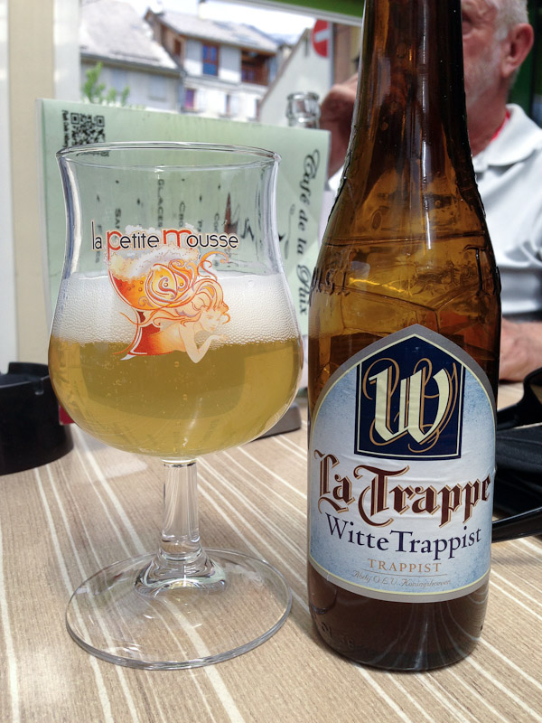
Not my favorite La Trappe (that honor goes to their Triple), but still very good
At lunch we discuss our options for the ride back south. Since no passes suddenly opened we were basically left with returning over Col D'Allos - no thanks, it was not worthy of a second visit - or hit several minor passes more southwest from Barcelonette. So, we headed west then south. Didn't take too long for the skies to open up on us. A real hard heavy rain that threatened to soak through our gear. Well, Dave's and my gear, as Peter decided not to pack his today. His ride had to be truly miserable.
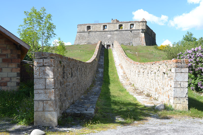
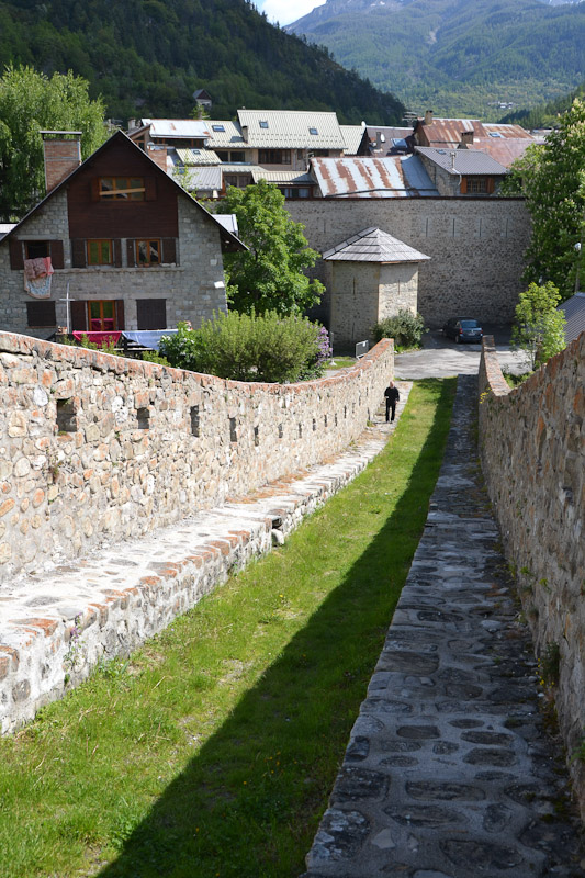
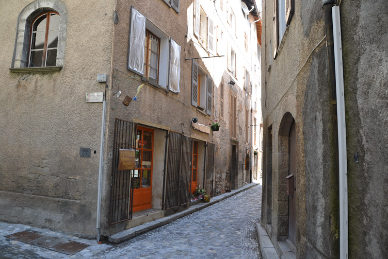
In the town of Seyne, with the rain still pouring down, Peter takes a right turn off the main road onto a narrow, steep, downhill cobblestone alleyway. Dave follows, and I take one look down the ramp and stop. Peter and Dave stop after a few yards, obviously realizing that this is not the main way through town, but the alley is too steep and wet to attempt a turnaround. I ride ahead about 20 yards to a small parking lot and wait. Both the GPS's are now out of sight. After what seems like 10 minutes of sitting in the pouring rain Peter comes around and finds me, and informs me he found another way out of town - but we have to ride down the alley since Dave is waiting at the bottom. We get through that and then do some illegal wrong-way-down-a-one-way-street scooting until we finally emerge onto something resembling a main road. Whew.
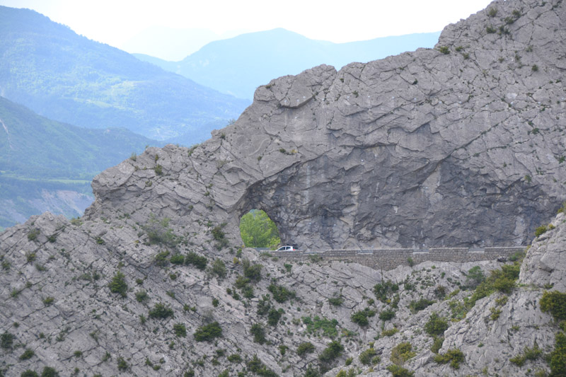
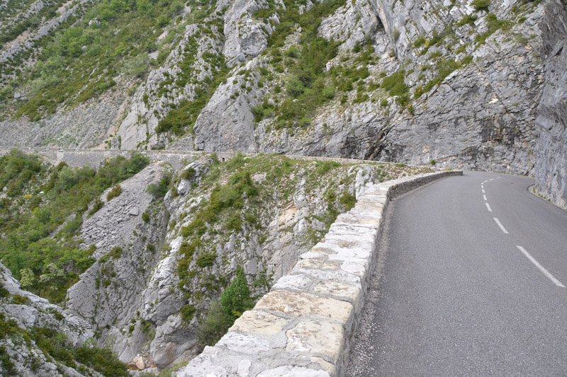
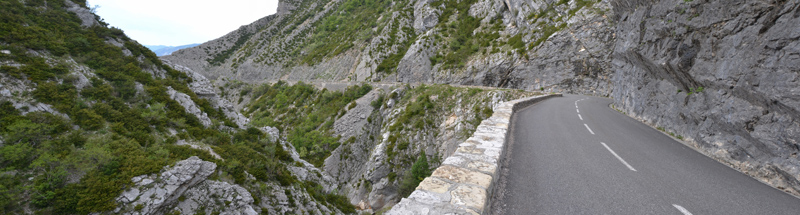
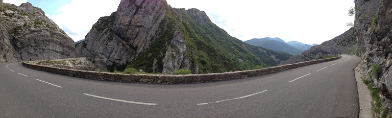
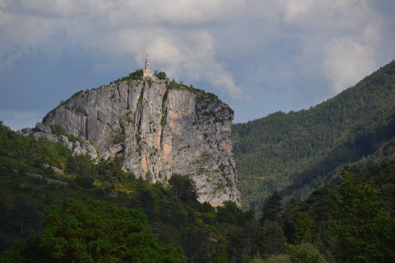
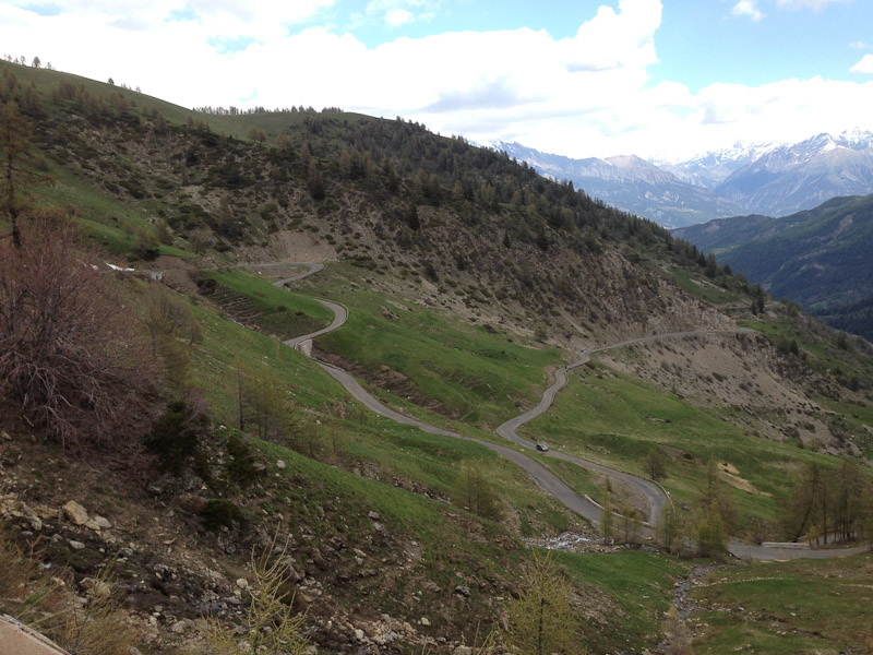
Our route turns single-lane pretty quickly as we go through farmland and up and down some hilly areas (not mountains). The rain begins to taper off but fog lingers. We reach Col du Fanget, one of our goals for the return trip, but it's a complete non-event. After that the road heads down a narrow rocky valley, but the intermittent rain but a damper (groan) on things. After a little while the rain stops, and the road begins to go through a very scenic and twisty rocky canyon.
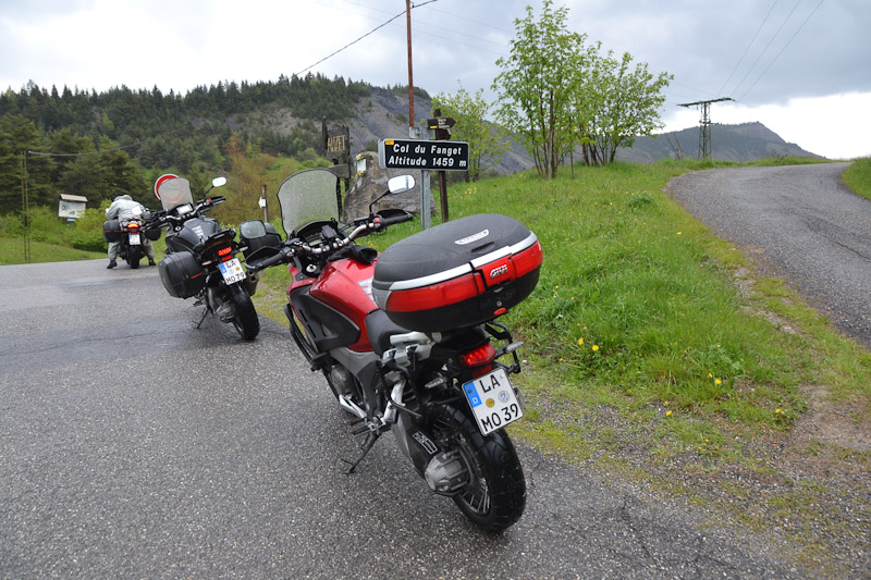
Col du Fanget. If there wasn't a sign you'd never know
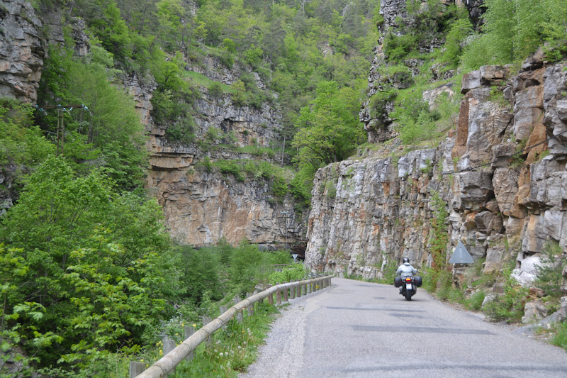
More French canyons
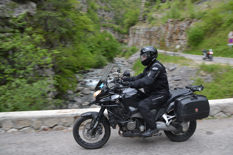
Is this Peter? I don't remember anymore...
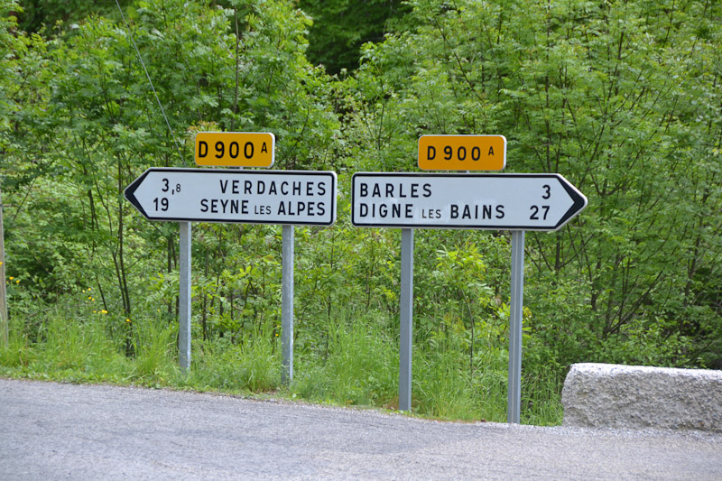
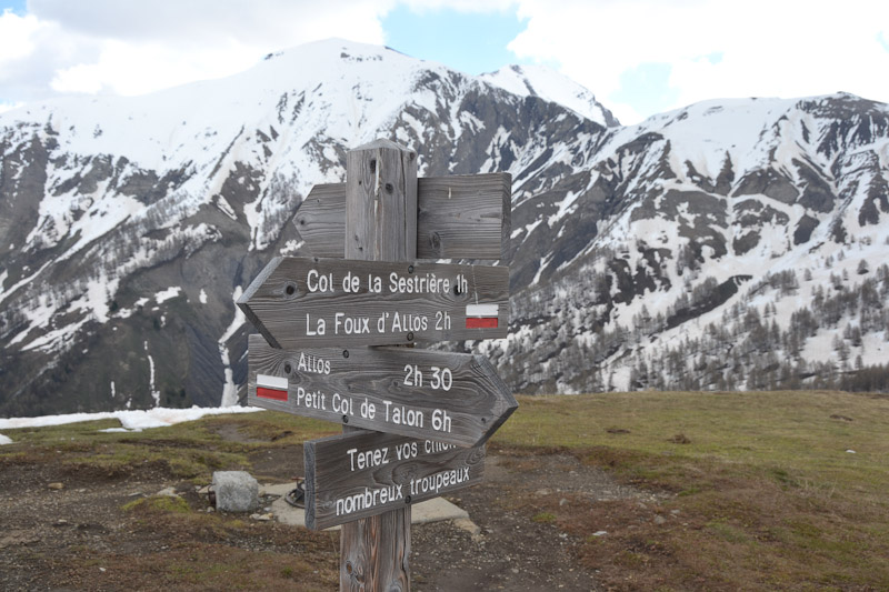
Choices
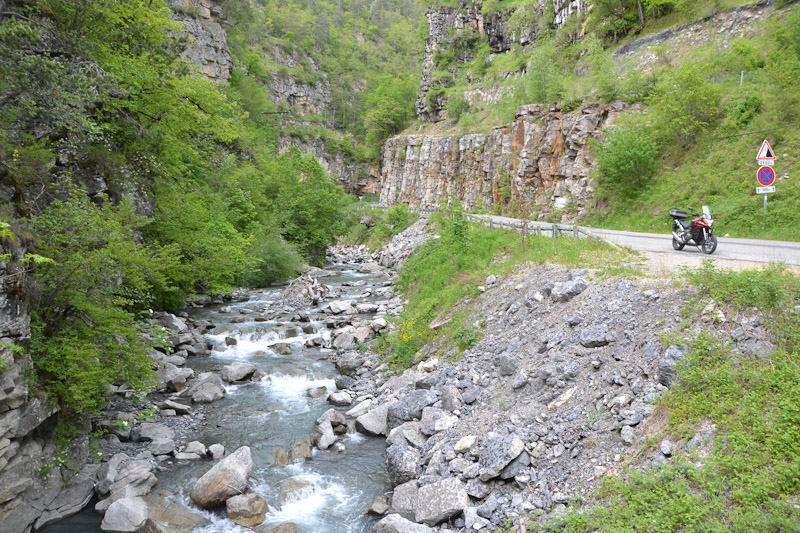
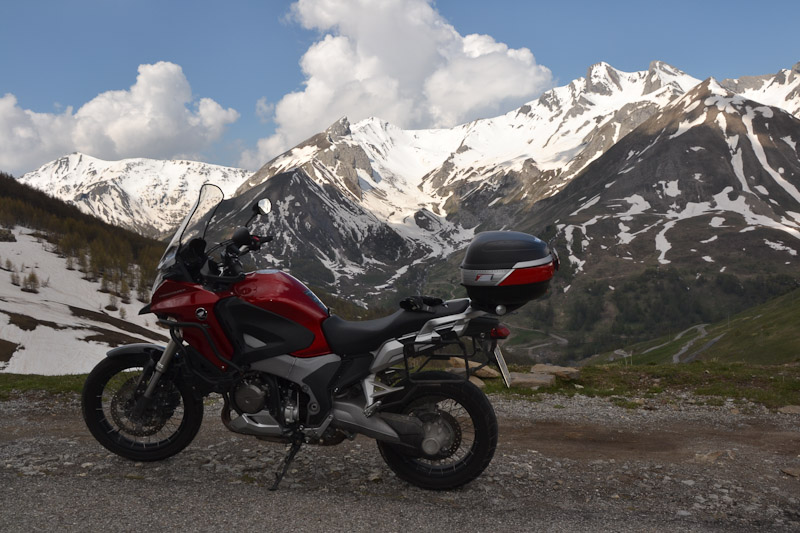
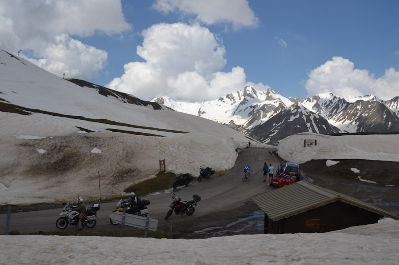
Crosstourer at photo stop
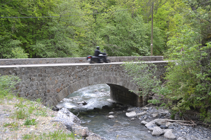
Peter on the bridge
Dave on the bridge
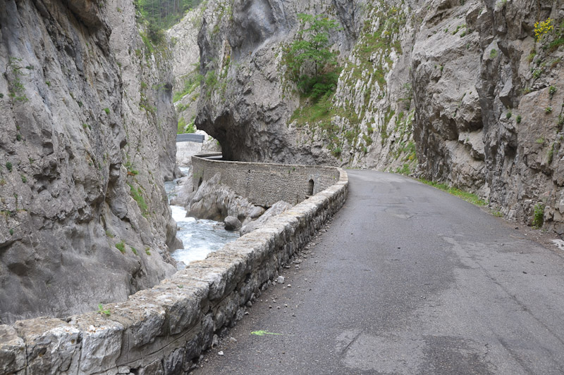
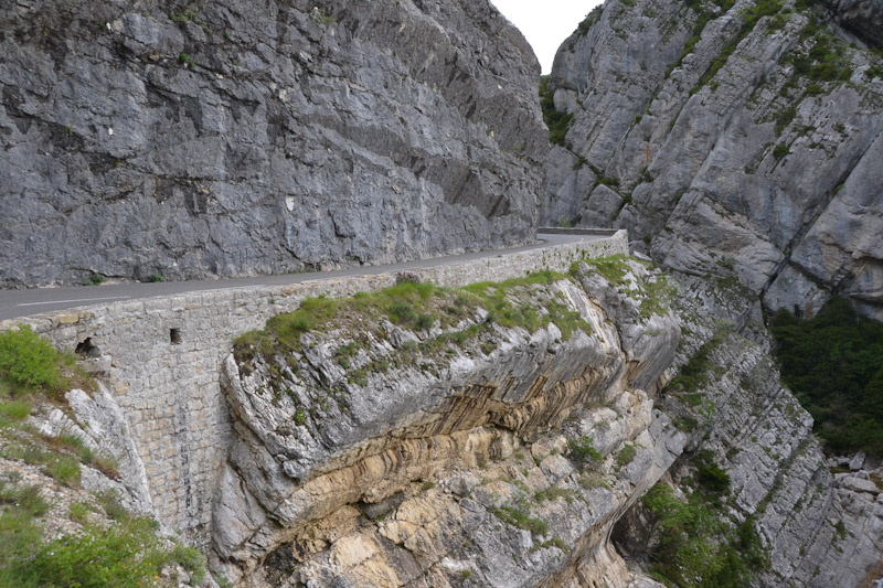
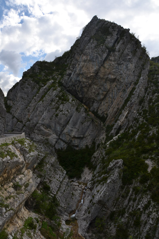
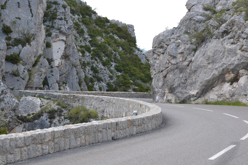
Fantastic canyon on the way to Digne
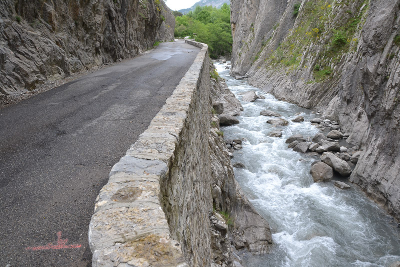
Very scenic
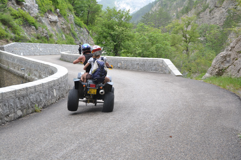
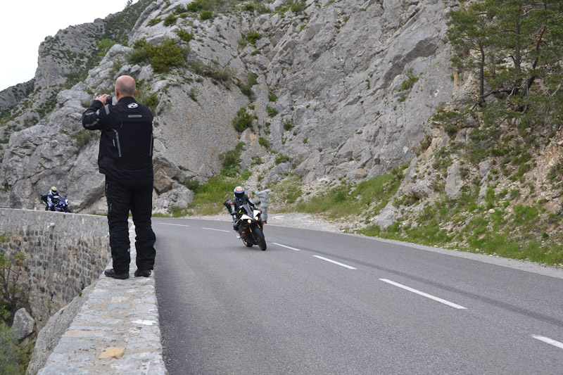
Young kids showing off. He was hauling through there on 2 wheels
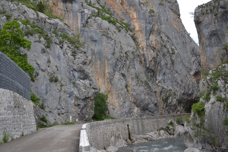
Narrow
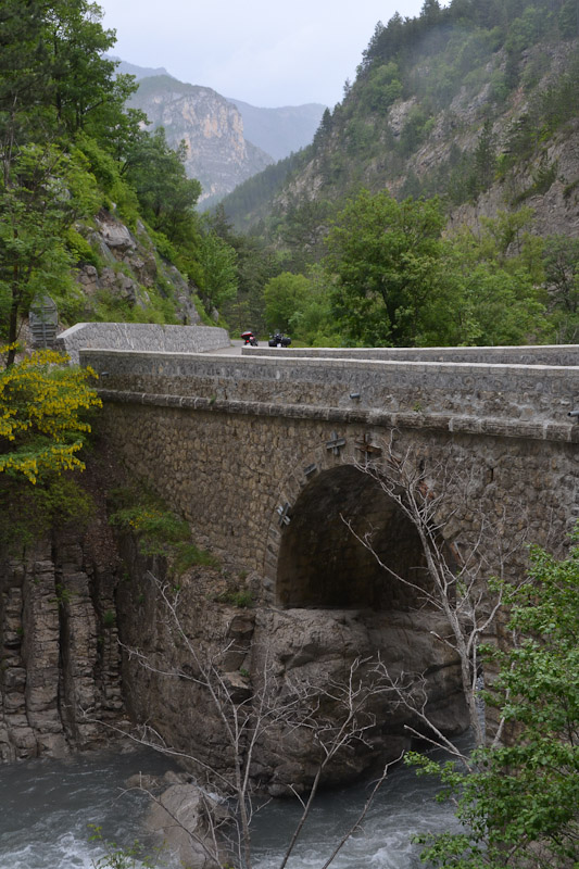
Old bridge